Jeffreys Cliffs Conservation & Recreation Area in Northern Kentucky is a must-visit for hikers.

Magnificent Views Seen Hiking At Jeffreys Cliffs Conservation & Recreation Area
General Information About Jeffreys Cliffs, KY
Jeffreys Cliffs is located in Hancock County, just a few minutes outside Hawesville. It is a 230-acre nature preserve with a 90-acre sandstone plateau. It is part of the Shawnee Hills region, known for its exposed sandstone
It is a newer preserve purchased in part by the Kentucky Heritage Land Conservation Fund. It was established in 2018 and public access to the property was granted in 2020.
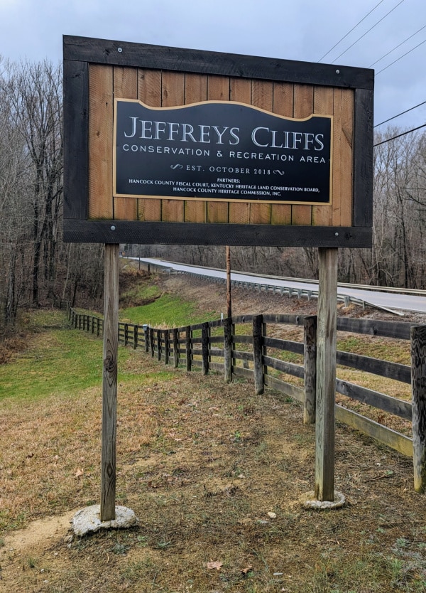
The sign in the photo above marks the entrance to the parking lot. I have heard that this parking lot does get full during peak season, but when we went in mid-December, there was just one other vehicle in the parking lot.
There are no dogs allowed in the preserve. This is a footpath only; no horses or bikes are allowed. No rock climbing is permitted. Collecting rocks, plants, or animals is prohibited. Please observe leave-no-trace rules so that these magnificent trails can remain open for all to see.
The park is open Friday, Saturday, Sunday, and Monday. The property is closed to the general public on Tuesday, Wednesday and Thursday. However, they remain open the entire month of October so that all can enjoy the woods in peak color. It is also open the whole month of April, Independence Day, and Thanksgiving week.
If you are a teacher or a leader of a homeschooling group, the park is open for field trips. You need to use the contact information on the website to request a time.
The organization even holds special tour days where they will transport people who otherwise could not visit to Morgan’s Cave by ATV to see it. You can find out about these special days by following their Facebook page.
I would check their website before visiting to make sure that opening times have not changed. I have listed it and other resources I used in writing this article at the bottom of this article.
Hiking The Trails
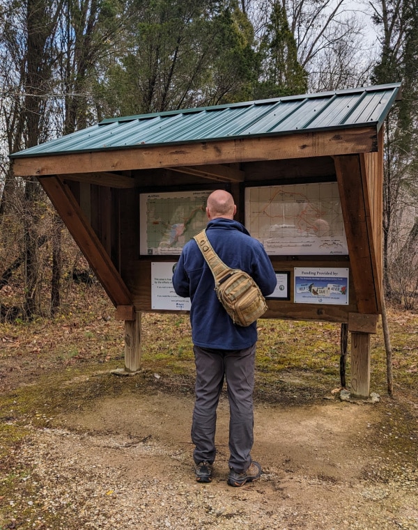
Just past the parking lot, you will find a large sign containing maps of the park’s upper and lower trails. Combined, these equal over six miles.
You can also find these maps in the AllTrails app. The QR code in the Map Key will bring you right to the maps in the app.
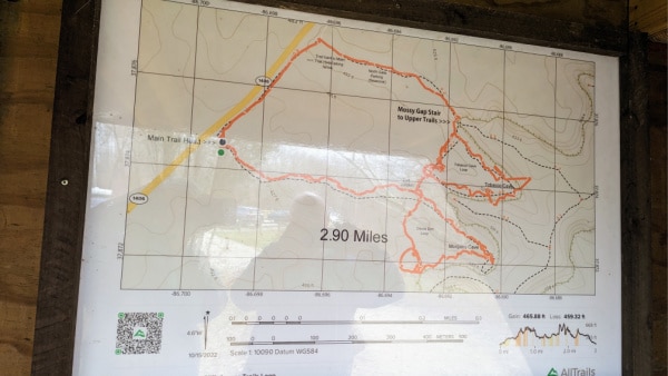
If you want to combine both upper and lower trails, we found that it made the most sense to hike to Morgan’s Cave first, then Tobacco Cave, and then continue up the stairs to Mossy Gap.
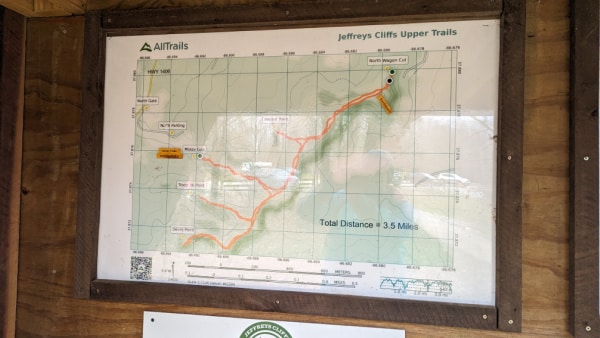
Once you are on the upper trail, you will need to head one way to see Lookout Point, Jeffreys’ Home Site, and East View and then backtrack to see Troop 36 Point and Devil’s Point.
Finally, you will go down the stairs at Mossy Gap and follow the path to the parking lot.
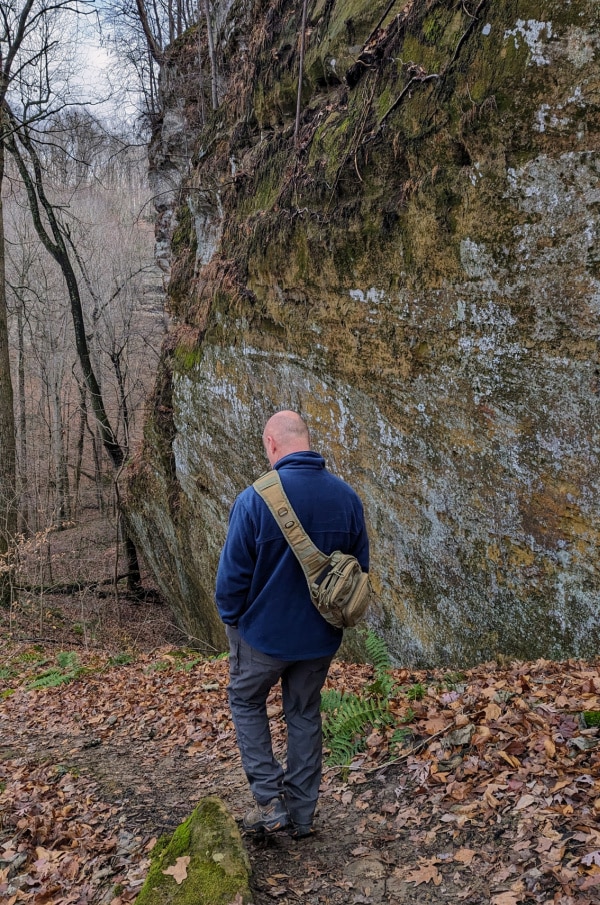
The Lower Trail
You are not on the lower trail for long before you start following along the side of the sandstone cliffs that dominate most of the property. These impressive cliffs vary in height from 70 to 125 feet and span a distance of just over three and a half miles.
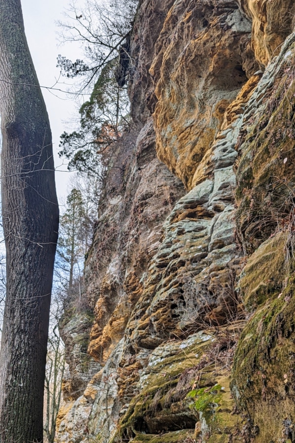
We have hiked many places in Southern Indiana and Northern Kentucky, but never have seen such golden hues in sandstone cliffs.
If you are into plants, there are three different types that are rare in this area. Look out for the Allegheny Stonecrop, Seersucker Sedge, and Shawnee Hills Alumroot. At the bottom of this article is a link to a YouTube video that will show you what they look like and give you more information about them and the area.
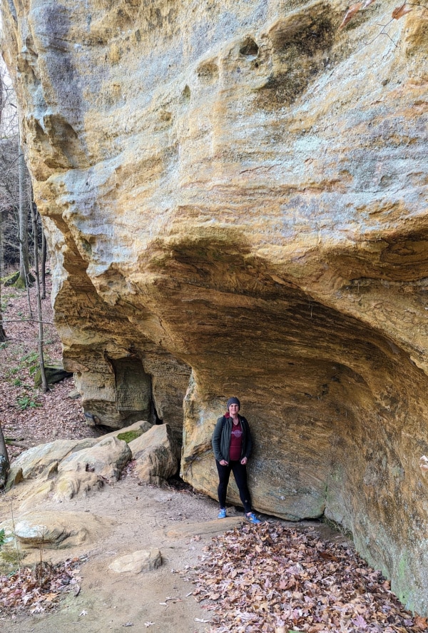
There are numerous small rock overhangs along the trail.
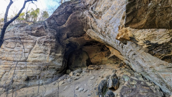
This is the first view of Morgan’s Cave along the trail. Although cave is in its name, it is actually a large rock shelter. In fact, it is the largest in the state of Kentucky. An entire football field could fit inside; that is how big it is!
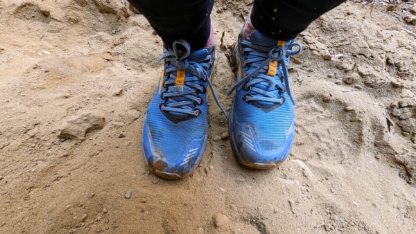
Under the rock shelter, you will be walking on soft sand created by the erosion of the cliffs.
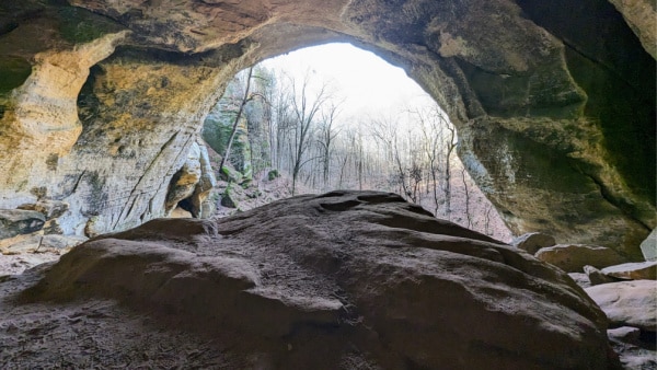
During the Civil War, this place was a hideout for Confederates.
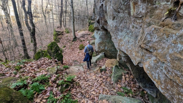
The lower trails contain some uneven terrain, but nothing that I would consider too difficult for anyone steady on their feet. Young and old adventurers could easily hike them. This is a great park to explore with the family.
Once you leave Morgan’s Cave, you will head towards the Tobacco Cave loop.
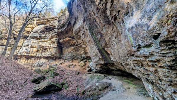
The Tobacco Cave rock shelter is much smaller than Morgan’s cave.

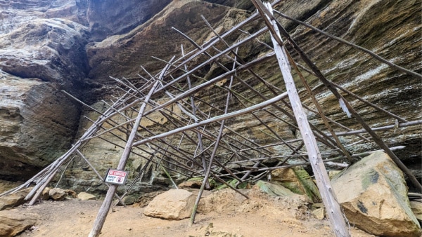
The rock shelter got its name because indigenous people used to dry their tobacco under the shelter of the rocks.
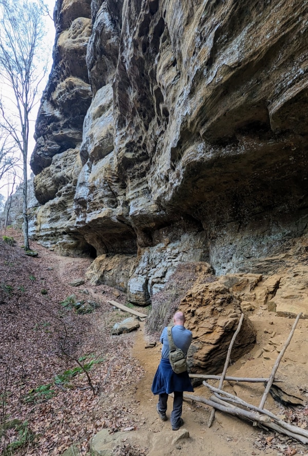
After leaving Tobacco Cave, you will make your way to Mossy Gap, but not before passing another few things of interest.
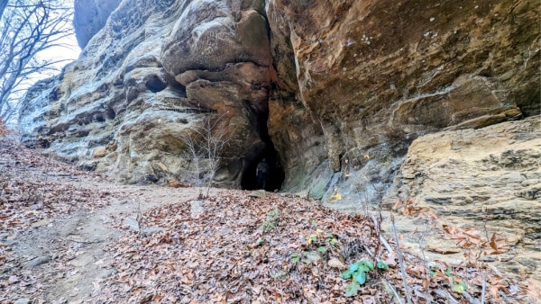
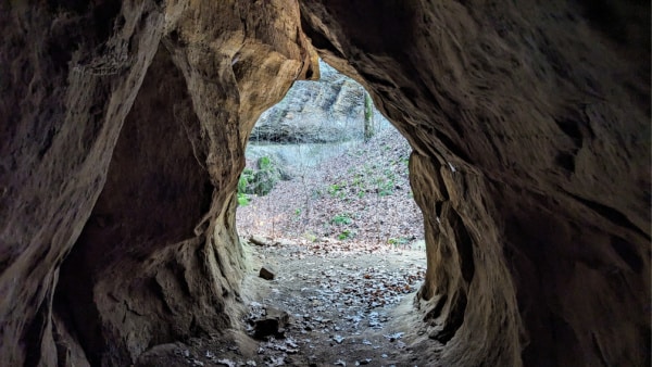
First is a small cave in the side of the cliff. It is tall enough to stand in and goes back roughly 10 to 12 feet.
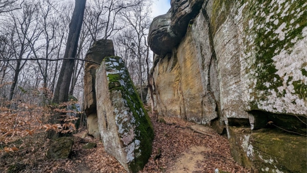
\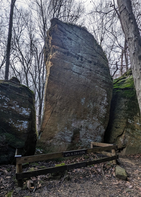
Second is the grave site of William H. Davison from the 1800s. I did some research and discovered that he was a Confederate guerilla known as “bloody Davison.”
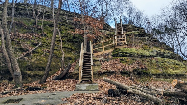
The Upper Trail
As you round a bend, the stairs at Mossy Gap will come into view. Although steep, the views from the top are worth the climb. However, if you cannot manage stairs, you can easily head back to the parking lot from here, having seen plenty of unique sites in the park.
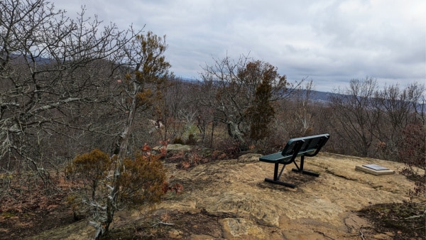
There are four different overlooks along the upper trail, each with different views. Some give views of the Ohio River, and others look out over the surrounding valley. You also get to see the sandstone cliffs from a different angle.
The lookouts could be tricky terrain if you visit on a wet day, as you are on top of a rock ridgeline that can get slippery. Make sure to stay a safe distance from the edge.
This trail will also take you past the remains of the Jeffreys’ homestead that the preserve is named after. He moved here in the 1800s from England.
Past the homestead is a wagon road made through the sandstone rock in the 1800s to give access to the area.
Not far from the stairs is a bench and a plaque. The plaque mentions the late Jerry R Harris 1928-2012) and his daughters Linda and Carol. It thanks Mr Harris for his dream of sharing this unique place with future generations. Although my research on the park could not confirm it, I believe Mr Harris must have been the private landowner of the property before it became a park for us all to enjoy.
I hope you add Jeffreys Cliffs Conservation & Recreation Area to your hiking bucket list. It truly is a magical place in Northern Kentucky.
Resources
Jeffreys Cliffs Conservations & Recreation Area Website
YouTube video about plants in the area by Kentucky’s Nature Preserves
(Links in this post are affiliate links. I will be compensated when you make a purchase by clicking those links. See the disclosure page for more information.)
Need an inexpensive place to camp in the area? Try Boondockers Welcome. Read our review here.

Leave a Reply